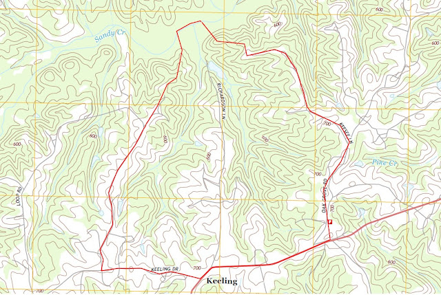
Richardson Lane Watershed
Location: Richardson Lane, Keeling, Virginia 24566
Lat/Long: 36°43’46.12”N / 79°17’11.81”W
 |
| USGS Quadrangle: Blairs, VA 2013 |
We start small and grow larger in contribution to larger watersheds:
Upper Sandy Creek » Sandy Creek » Banister River » Dan River » Roanoke River
 |
| Source: US Geological Survey (USGS), Effects of Flood Control and Other Reservoir Operations on the Water Quality of the Lower Roanoke River, North Carolina (Scientific Investigations Report 2012–5101) |
I reside along Richardson Lane, in Keeling, Virginia. Keeling is in Pittsylvania County in Southern Virginia, near the city of Danville.
http://pittsylvaniacountyva.gov/.
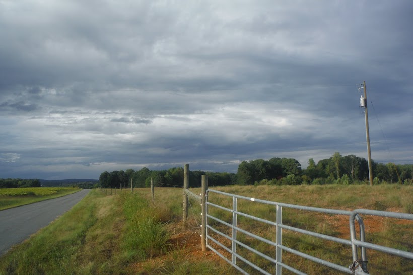
I have been part of this tiny community long enough to feel the desire to know it better. When we moved here, we were surrounded by forest; a little cabin tucked away in the woods. Our forest was further surrounded by even more forest and farmland.
A year after moving in, we noticed strange survey ribbons along the property boundary and an informative neighbor notified us of a pending logging operation. The forest north of our property was completely removed and we were left with a view of a 40 acre clear cut.
I'm an environmental scientist by trade and immediately noticed the lack of stream buffers and erosion control. I said to myself, "That would make an interesting study. I wonder what kind of actual impact that is having on the stream."
Not long after, the familiar noise of the logging machines rumbled to the west.
In addition to forest, we are bound by a 140 acre farm. This farm is subject to a variety of uses, one of which is tobacco farming. In 2015, the acreage of tobacco fields increased, as did the obvious sediment runoff into the nearby waterways.
The events and land use along Richardson Lane is not unique. It's quite common throughout southern Virginia. By understanding my micro-watershed and the effects of its land use, I am hoping I can educate the local community of steps they can take to reduce erosion and improve land management.

No comments:
Post a Comment