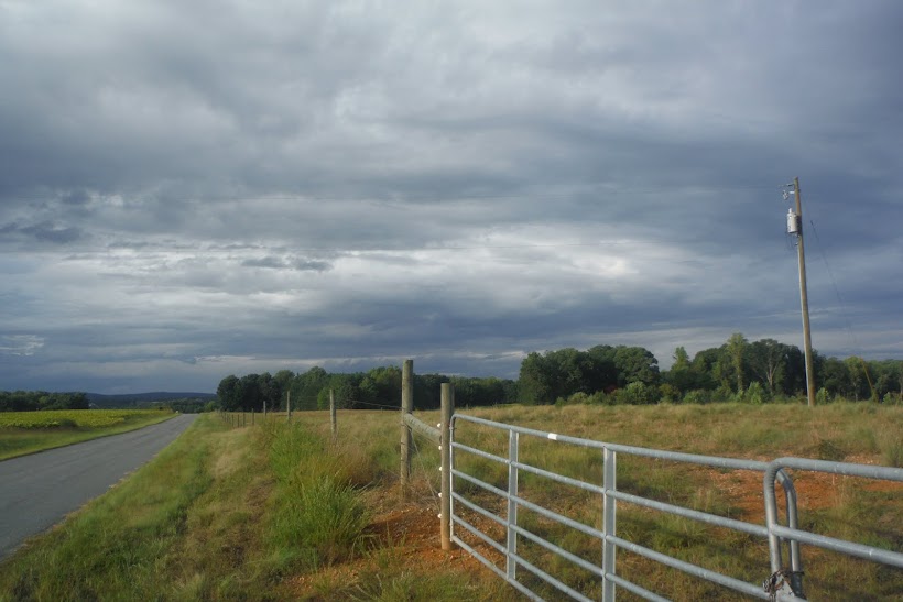
The Richardson Lane Watershed is located in the Sandy Creek Watershed. Sandy Creek is a tributary of the Lower Banister River. As I progressed through my watershed studies, it became apparent that the Upper and portions of the Lower Banister River are under-valued and almost ignored by the community and the local government. I shifted my studies to the development of a Watershed Management Plan for the Banister River, specifically in Pittsylvania County. The following blog posts will include the draft documents I've created in the pursuit of developing such a plan.
Ultimately a Watershed Management Plan cannot be created alone. It must be a living document created by the community. With that in mind, I've created a presentation by the mock river group, Friends of the Banister. The presentation identifies what a watershed management plan is and why it's important. I've also created a draft of a watershed management plan guide specifically for the Southern Virginia Piedmont. As part of that document, a Fact Sheet has been created to promote and advertise the need for a watershed management plan in Pittsylvania County.
Finally, the final post is a messy run-on thought process as I went through the information found and my thoughts on specific sections. By reading that document, you might see just how involved a project like this can develop. All we need is people who want to dive in. Enjoy!
Please read through the following posts and contact me with any questions or comments. You can comment on the blog posts or email me at brianaleebill@gmail.com.

No comments:
Post a Comment